
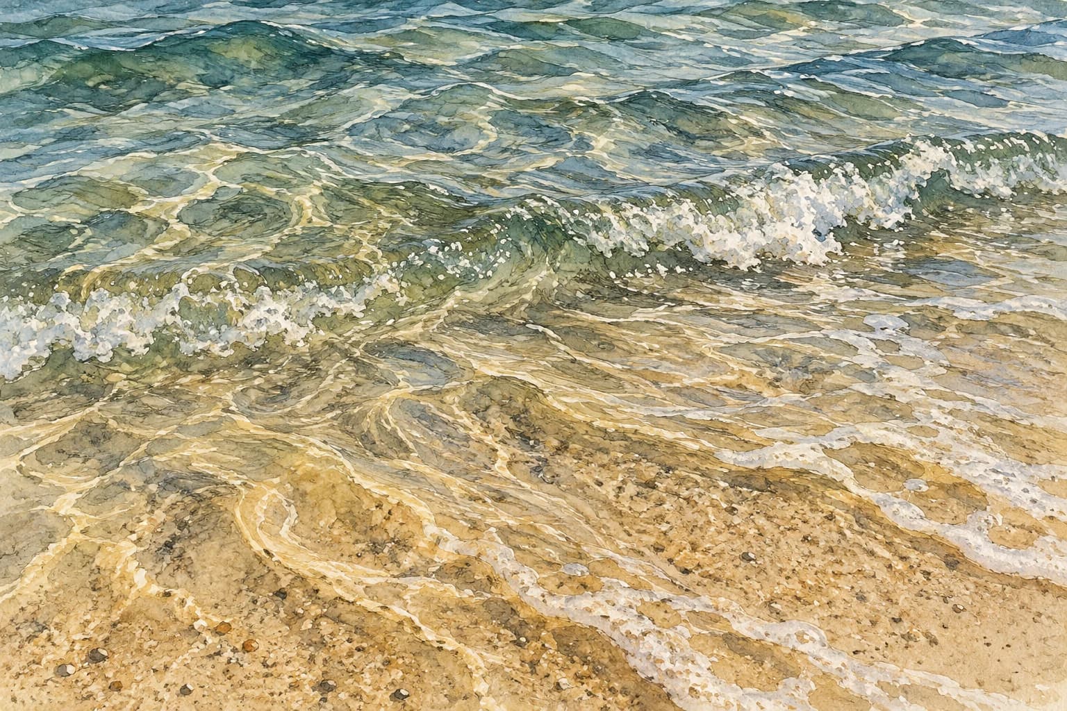
Hutchinson Island's Atlantic water can look blue-green and clear, but clarity varies by beach and day. Surf can stir sand, and suspended particles can reduce visibility. A photograph from a calm morning is not a reliable forecast for the date of your visit. Treat clear water as a possible condition, rather than an amenity that every accommodation or beach entrance can guarantee.
For a beach day, separate three questions: can you see through the water, are there health advisories, and are surf conditions suitable for swimming? Those questions require different information. The official sources below, checked September 30, 2026, help you make that distinction without relying on a permanent “best beach” or “clearest month” claim.
Related reads
Keep going without starting from scratch.
Quick list
The question this guide answers
- It can be, especially when the shallows are relatively undisturbed, but it varies by access and day. Suspended particles can reduce visibility. Use current conditions and an on-site view rather than expecting the color or clarity shown in a past photograph.
Why the same beach can look different tomorrow
NOAA's explanation of turbidity describes reduced clarity when sediment, plankton and other particles are suspended in water. That gives a useful explanation for a hazy shoreline without identifying the exact cause on a particular day. NOAA's wave explanation also describes how wind transfers energy to the water. Conditions at an exposed Atlantic beach can change even when yesterday's water looked inviting.
Look at recent conditions rather than using sunshine alone as the deciding factor. A bright day after rough weather can still have disturbed shallows. The color seen from a balcony also depends on light, viewing angle and depth; it is not a visibility measurement taken at the place you will swim. If seeing the bottom is central to the outing, leave room to change the activity when you reach the actual beach.
Atlantic water and lagoon water need separate checks
Hutchinson Island lies between the Atlantic and the Indian River Lagoon. Its two shorelines are different recreation settings, and an island address does not establish which water a property faces. Our Jensen Beach versus Hutchinson Island guide explains why a familiar destination name can refer to mainland lagoonfront facilities as well as an island ocean-beach access. Identify the shoreline before interpreting a review about “the water.”
An advisory or photograph from a lagoon site should not be transferred automatically to every Atlantic beach, or vice versa. Match the monitoring location to the public access you plan to use. Nearby sites can share changing weather while still having different recorded conditions. For a kayak trip, snorkel outing or beach visit, use the information relevant to that activity and location rather than a single island-wide rating.
Local tip
Use the article for evergreen ideas and the newsletter for what is happening right now.
That combination gives you the best shot at finding something that fits the season, your schedule, and what is actually open or active this week.
Clear water does not establish water quality
Florida's Healthy Beaches program monitors fecal-indicator bacteria and publishes sampling results and advisories. These measurements address a health question that a beach photograph cannot answer. Check the sampling site, sample date and advisory status. A past acceptable result is a dated observation, not a guarantee that conditions remain identical through the rest of a vacation.
Visible haze also does not, by itself, establish a specific contaminant. Sand in the shallows and a posted health advisory are different pieces of information. When an advisory is active, follow the health department's instructions even if the surface appears clear. If you notice unusual discoloration, dead fish or a visible bloom, avoid deciding that it is harmless based on a tourism description; consult the current agency information and the local lifeguard.
Use beach conditions and forecasts together
Martin County's beach page links its Safe Beach Day conditions tool, beach cameras and tide information. Use those links for a first look at the Martin County accesses, then verify the conditions at the entrance. A camera can show breaking waves and the visible shoreline, but it cannot replace bacterial sampling or reveal every current beyond the frame. Check whether the view is current rather than treating a saved screenshot as live evidence.
The National Weather Service beach-forecast map provides another planning tool. Its rip-current guidance recommends checking forecasts and talking with lifeguards; calm, sunny weather can still bring dangerous currents. Choose a guarded beach and follow posted flags and local instructions. A desire for a clearer underwater view is never a reason to swim beyond the area or conditions recommended by the lifeguard.
Snorkeling needs more than attractive water color
If you hope to snorkel, ask about visibility and swimming conditions at the intended access on the day. The Bathtub Beach visitor guide explains the reef setting and the need to follow current access information. Do not assume a reef makes the water predictably calm or turns every tide into an equally suitable visit. A beach being open answers an access question; it does not promise good underwater visibility.
Keep equipment and the group's experience in mind. Being able to see the bottom from shore is not a measure of a child's swimming ability, the strength of a current or the ease of returning to land. If surf, visibility or the lifeguard's advice does not support the outing, choose a shore walk or an indoor marine-life visit instead. For an organized activity, ask the operator how it handles unsuitable conditions before committing to a booking.
Avoid promises about the clearest month or best tide
The official sources reviewed do not establish a single month or tide that guarantees clear water across Hutchinson Island. Tide tables describe predicted water levels, not a promise about sand suspension, bacteria or swimming conditions. Make a flexible plan with several possible beach windows and one nearby alternative. If the trip is mainly for underwater visibility, discuss cancellation and rescheduling terms with the operator rather than treating a seasonal marketing claim as a forecast.
For bloom concerns, use FWC's red-tide information and the state health department's linked water-quality resources. Red-tide reports, bacterial advisories and surf flags cover different hazards, so one favorable indicator does not cancel another warning. Recheck the relevant information close to the visit and at arrival. The useful answer to “is the water clear?” is specific to a beach and time, followed by the separate checks that determine what you can safely do there.
FAQ
Common questions
Is the water clear on Hutchinson Island?
It can be, especially when the shallows are relatively undisturbed, but it varies by access and day. Suspended particles can reduce visibility. Use current conditions and an on-site view rather than expecting the color or clarity shown in a past photograph.
Does clear water mean it is safe to swim?
No. Clarity does not establish bacterial water quality or rule out rip currents. Check health advisories, the beach forecast, posted flags and lifeguard guidance separately before entering the water.
What is the best month for clear water on Hutchinson Island?
The official sources reviewed do not support a month that guarantees clear water island-wide. Recent surf and local conditions matter to the actual visit. Keep snorkeling plans flexible and use current information for the exact beach.
Sources
Reference links
- NOAA: suspended particles and turbidity
- NOAA: how waves form
- Florida Department of Health: Healthy Beaches sampling and advisories
- Martin County: beach conditions, cameras and tide resources
- National Weather Service: beach-forecast map
- National Weather Service: rip-current guidance
- FWC: red-tide monitoring and current-status links
Written by
Derek Brumby
We publish Treasure Coast guides for residents, newcomers, and weekend planners. Our goal is to combine local context, linked source material, and ongoing page updates so a reader can act on the guide instead of just skim it.
Derek Brumby is the sole author and editor. On The Treasure Coast is owned and published by Brumby LLC.
Research and updates
Last verified September 30, 2026
This guide was written and edited by Derek Brumby using linked local and official sources, then reviewed for Treasure Coast planning context.